


Continents of the World Flags and Facts, folded, Map Pack Bundle, Folded: 4.25" x 9.25" ; Flat: 25.25" x 18.5"
Continents of the World Flags and Facts, folded, Map Pack Bundle, Folded: 4.25" x 9.25" ; Flat: 25.25" x 18.5"
Couldn't load pickup availability
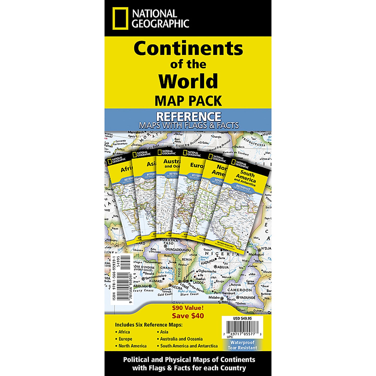
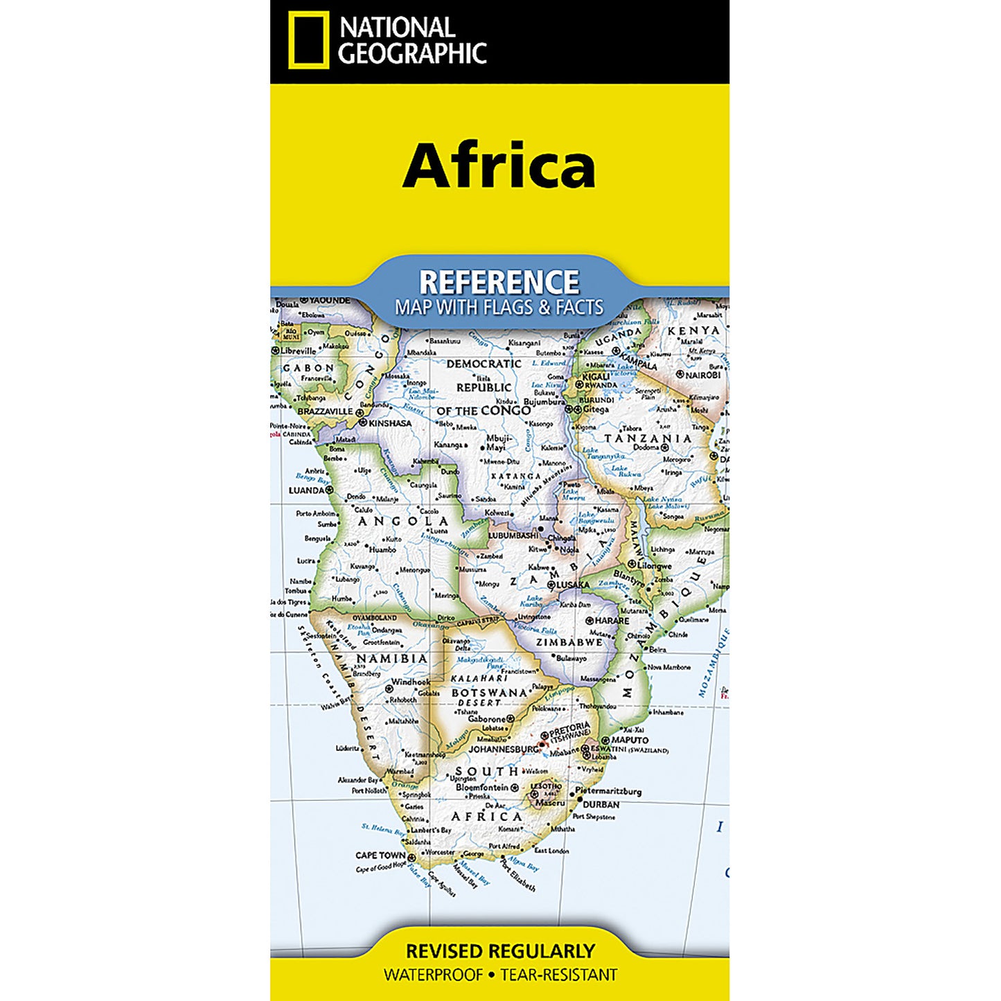
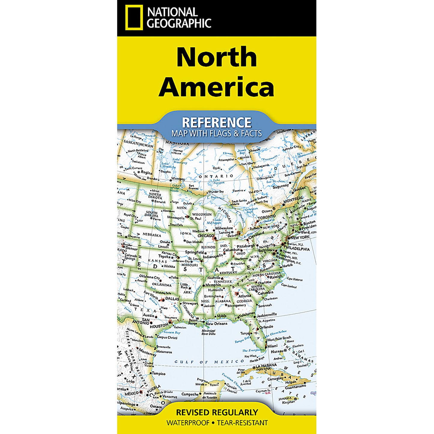
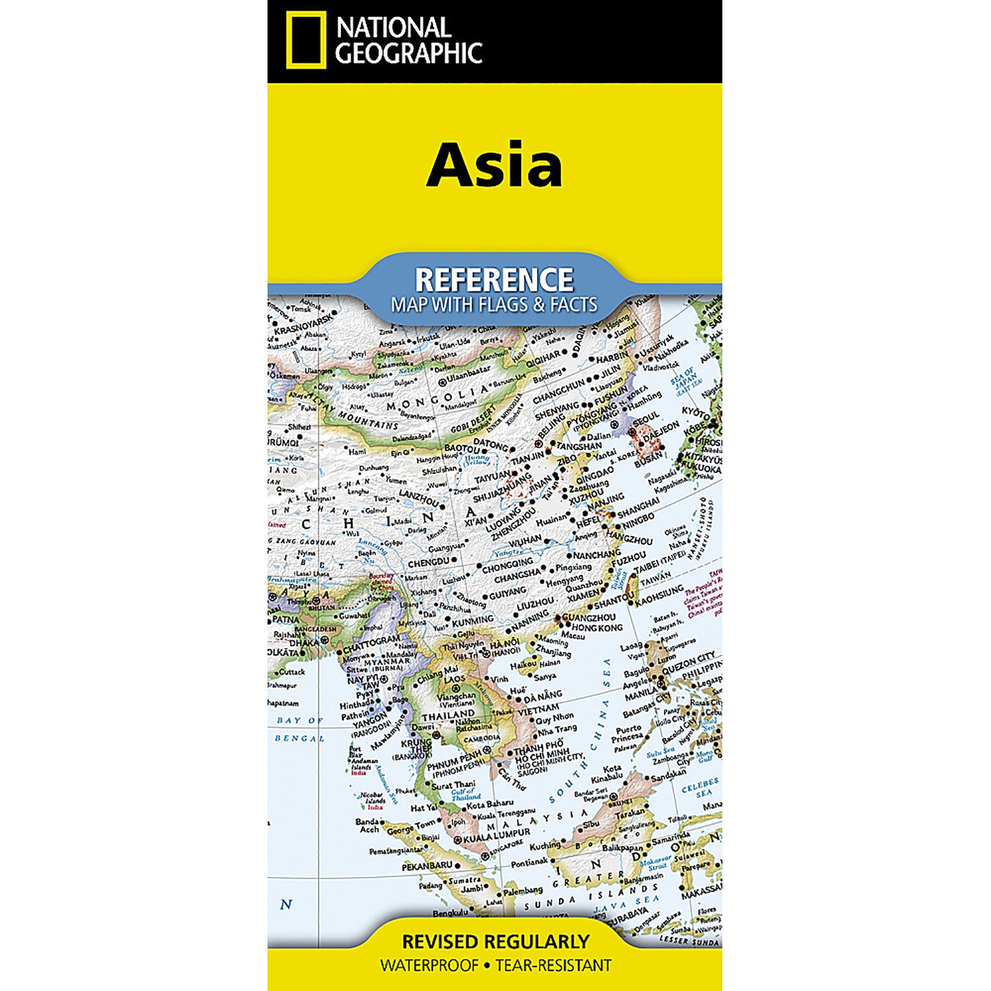
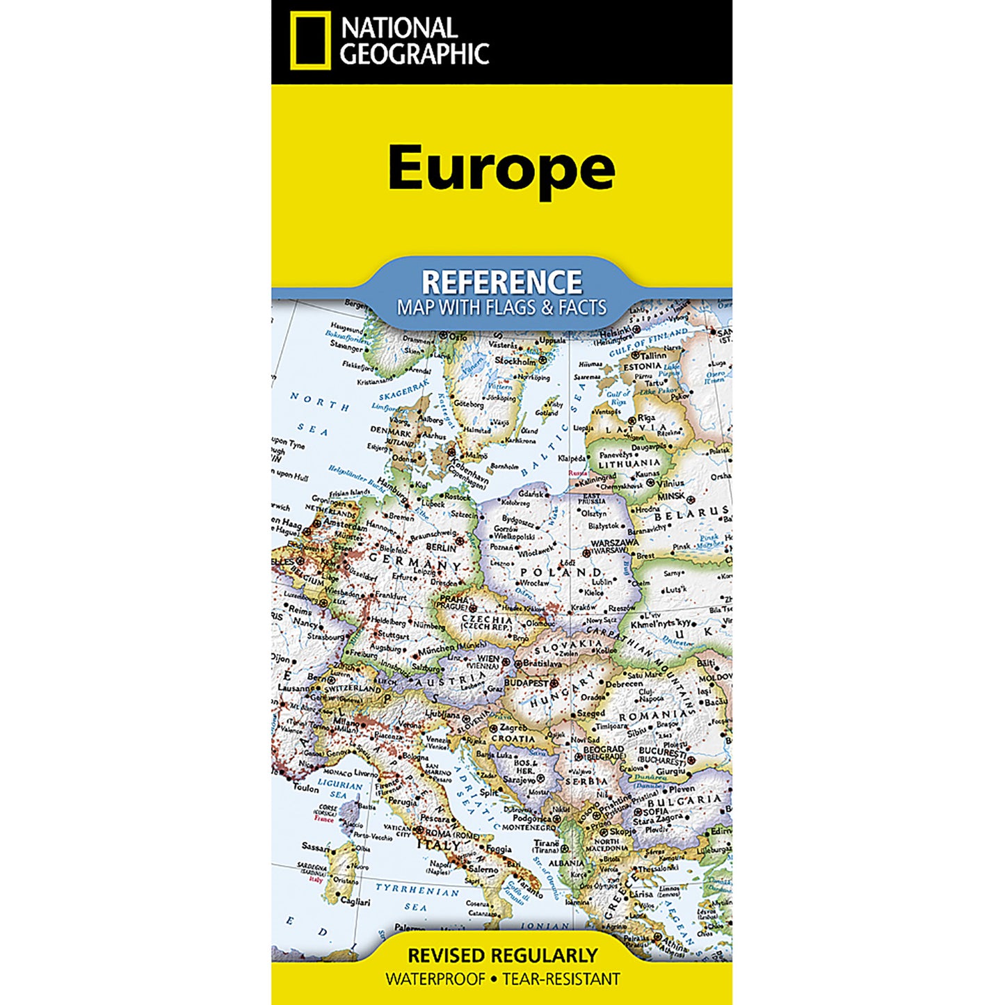
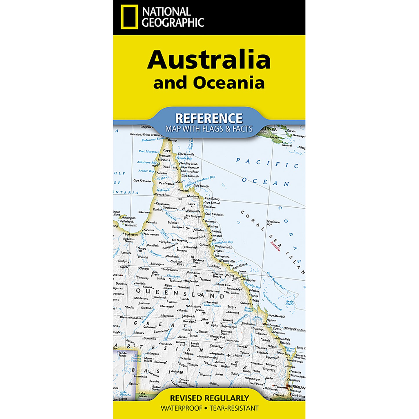
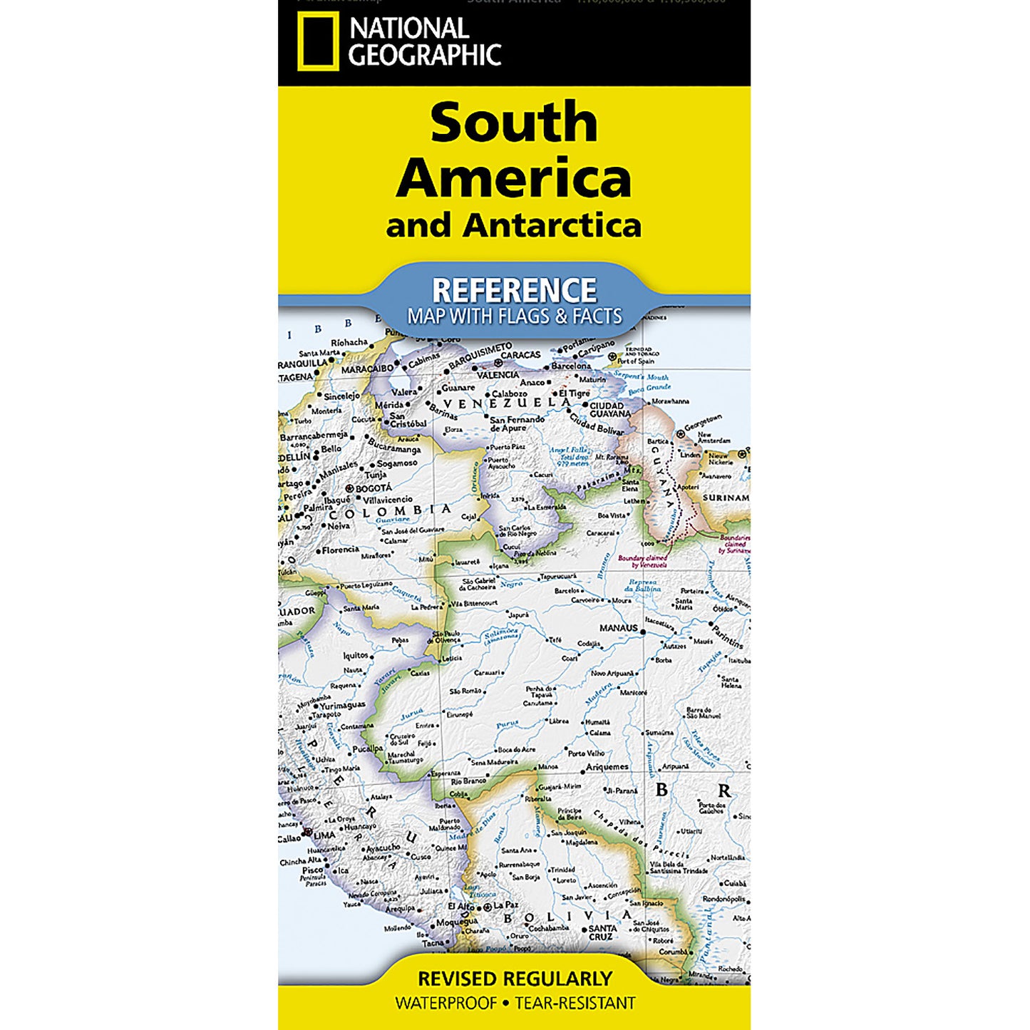
National Geographic's Reference maps with Flags & Facts Map Pack Bundle of Continents includes the seven continents on six waterproof tear-resistant maps. Each continent map includes a political map with countries and cities carefully placed for maximum readability. Each map also includes a physical map of the continent artistically representing the mountains, valley, plains, rivers, lakes and other physical features. The flags and facts for every country, enhanced with representative photographs portraying themes and regions are also included. The maps are printed on waterproof, tear-resistant material which can be folded and unfolded hundreds of times making them perfect for quick reference to the news of the day or classroom use. The Continents of the World Map Pack includes: Africa with Flags & Facts Asia with Flags & Facts Australia and Oceania with Flags & Facts Europe with Flags & Facts North America with Flags & Facts South America and Antarctica with Flags & Facts Every Flags & Facts Reference map is printed on ""Classroom Tough"" waterproof, tear-resistant paper.
Key Features :
i : National Geographic's Reference maps with Flags & Facts Map Pack Bundle of Continents includes the seven continents on six waterproof tear-resistant maps.
ii : Each continent map includes a political map with countries and cities carefully placed for maximum readability.
iii : The maps are printed on waterproof, tear-resistant material which can be folded and unfolded hundreds of times making them perfect for quick reference to the news of the day or classroom use.
iv : Every Flags & Facts Reference map is printed on ""Classroom Tough"" waterproof, tear-resistant paper.
v : Measures 4.25"" x 9.25"" folded and 25.25"" x 18.5"" flat